Guest Post by Kathleen Smythe
Kathleen Smythe is a professor in the Department of History at Xavier University, Cincinnati. In this post, she offers a fascinating glimpse into the history of Mill Creek, engaging with the historical, social, economic, and ecological meanings behind the idea of a watershed. This forms the basis of her course on “Bicycling Our Bioregion,” in which students participate in ecology excursions around Cincinnati.
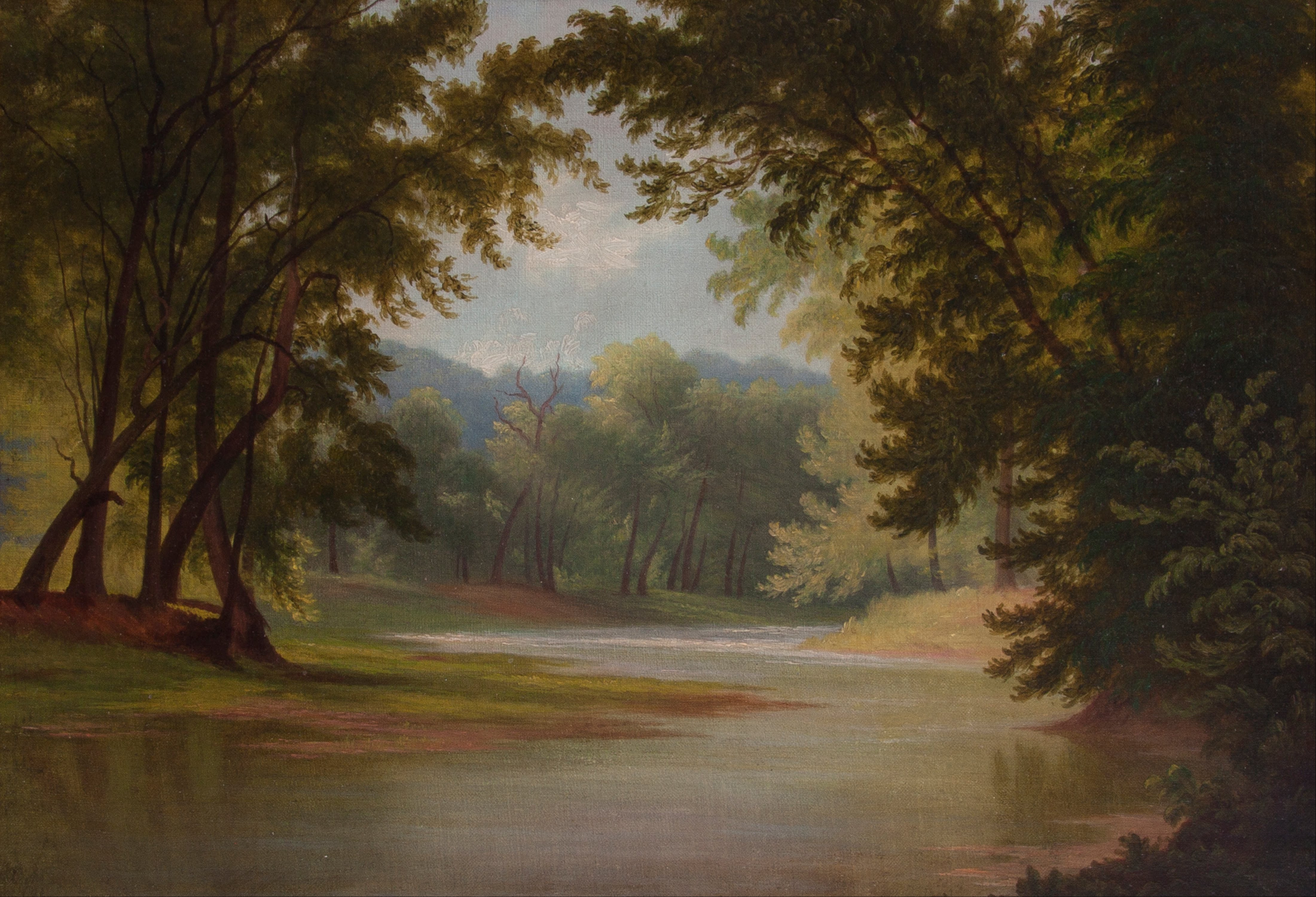
Imagine, for a moment, that you are an eager American settler—say, a Revolutionary War veteran in the late 1700s. Seeking a way to go beyond the Appalachian mountains, you drift slowly down the mighty Ohio River. Knowingly or not, you are witness to the Ohio River watershed as you pass tributary after tributary. Once near Cincinnati, there are a number of tributaries (the Little Miami, Licking, Mill Creek, and Great Miami rivers) close by and, to the north, you spot a low shelf before the hills begin. This, you decide, is the perfect place to settle, near multiple rivers and flat enough along the Ohio for settlement. The Mill Creek valley is particularly deep and broad as far upriver as the eye can see.
The reason this small creek, only about 28 miles long, has such a wide basin—one and a half miles wide—is because it lies in an old path carved first by the Licking River more than two million years ago and then by the Ohio River more than a million years ago. Four hundred thousand years ago, successive ice sheets pushed the Ohio River into its current configuration near Cincinnati.

When John Cleve Symmes, a congressman from New Jersey, bought more than 250,000 acres along the Ohio River in 1794, hoping to entice settlers to the region, he called it the “Mill Creek” to leave no doubt that it would be possible for new residents to set up mills for grain and lumber. Early settlers saw even more opportunity in the region and also fished the creek, and swam and canoed in it. When Symmes and other early settlers arrived, the area was densely forested. Stan Hedeen often tells students that in the late 1700s a squirrel could have traveled from treetop to treetop from the Ohio River to where Dayton is today without touching the ground once. Two hundred years later, in 1997 the American Rivers organization called the Mill Creek the “most endangered urban river in North America.” Its relatively short length, combined with intensive economic activity, were the cause of its demise.
Four Sources of Pollution
One of the first things settlers did was to cut down trees to build houses, fences, and other buildings and to clear land for farming (barley, wheat, corn). By 1881, forest coverage in the Mill Creek Township was 15 percent of what it had been a century earlier. The consequences were severe: along with the trees, large mammals such as the black bear, and birds such as the passenger pigeon disappeared. In the absence of trees, more soil was able to wash into the creek, increasing sedimentation and changing, among other things, the character of the creek bottom and the amount of light that could penetrate to it. Without tree cover, water temperatures increased and fish, invertebrates, and other species declined.
A further impact on the Mill Creek in the early decades of the 1800s was the development of various industries, such as pork slaughterhouses, paper mills, and breweries. The first slaughterhouse opened in the 1830s. By 1913, one cup of every gallon of water flowing through the Mill Creek contained alcohol or animal by-products.

Industrial development depended on reliable transportation. The Miami to Erie Canal—built between 1825 and 1845—ran right along the Mill Creek. Railroad construction began in 1848 and, by the early twentieth century, nine rail lines (that on an average weekday could bring up to 220 passenger and mail trains) used the Mill Creek valley to enter Cincinnati. The Mill Creek had become an industrial corridor, home to industry, rail, and intensive settlement.
This influx created a third source of pollution in the Mill Creek: human waste. In 1863 the Cincinnati City Council allowed sanitary waste to be discharged into underground storm drains. “Combined” sewers, which were cheaper to build than separate sewers, served two functions. First, they carried sanitary sewage on a regular basis. The secondary purpose, diverting rainwater from residential areas to prevent flooding and allow it to be channeled into the sewers, meant that as populations increased, the sewers could not handle the primary load as well as a secondary load. When overtaxed, they would open and empty into the Mill Creek. Today, a combined sewer system is still in use in Cincinnati. Every time the area gets more than a tenth of an inch of rain per hour, the sewers flood with rainwater and overflow into the Mill Creek, dumping raw sewage that eventually finds its way into the Ohio River.
Watersheds and Path Dependency
These layers of history in the Mill Creek are illustrations of an important concept: “path dependency.” The Mill Creek lay in the very old basin created by the former Ohio River. Native Americans were drawn to the broad valley and created trails. Settlers and US generals, and eventually motor vehicles, followed these same trails and built homes, villages, and industries. In the early 1800s, a canal was built in the same channel; then a few decades later, the railroad; and eventually, in the 1960s, Interstate 75. When you travel in a passenger car along I-75, you are figuratively traveling in the multiple layers—geological/glacial, Native American, and early settler—of history.
Path dependency can be applied to both the natural environment as well as the human-built environment and refers to a situation of constrained development that unfolds along a path with no clear way back. As infrastructure built up along the Mill Creek, residents became increasingly tied to the location and were more susceptible to flooding. But their ties also meant that they were reluctant to move, for they had invested economically and emotionally in this place. Settlers in the Ohio River valley were eager to recognize the benefits of the floodplain—fertile soil, level ground, access to the river—but far less willing to accept the historical and ecological reasons the floodplain was there to begin with: that it was a part of the river itself. Lübken refers to settlements like those along the Mill Creek as “floodplain invasions.”
In response to the combination of floodplain invasion, path dependency, and river dynamics, engineers sought to control flow in order to prevent flooding. It seemed the only option. The US Army Corps of Engineers was charged with addressing flooding problems. There was simply too much invested in the valley to even consider defaulting to the natural inclinations of the Mill Creek, and to relocate human settlement and industry. The first step was to build a barrier dam (completed in 1948) across the mouth of the creek to seal off the Ohio floodwaters.

Next, to prevent flooding, two dams were built on the upper tributaries of the creek, creating two reservoirs. Then, the creek was channelized to allow more water to move more quickly through the channel. In this process, the Corps widened the stream to double or triple its normal size, stripping away the trees and laying riprap (old broken rocks or old pavement) up the banks. In some places along the Mill Creek, such as where it runs through the Proctor and Gamble complex (above), concrete lines the bottom and sides of the creek.
Fast forward to today and the Mill Creek river valley is once again a haven for recreation and biological diversity. The Mill Creek Yacht Club runs organized canoe and kayak trips along the creek. The Yacht Club is part of a larger effort to restore the creek to a healthier state. Part of that solution, of course, is to reduce and eventually eliminate the disposal of any kind of waste into the stream. The Mill Creek Watershed Council of Communities has undertaken 33 ecological restoration projects along the Mill Creek and its tributaries, including bank stabilization, streambed stabilization, wetland restoration, and wildlife habitat restoration. In 2017, American Rivers took the Mill Creek off its endangered list—another great feat for a small but important watershed.
Through hundreds of years, waters have continued to flow through the course of the Mill Creek, and visitors to the valley today are able to experience this history: the broad valley, the lack of trees, the railways. The health of those waters, and the ways in which people engage with the creek, has changed significantly in this time span. Path dependency is still very real, but so are efforts to restore the health and biodiversity of the creek.